Rivers
WHITE NILE
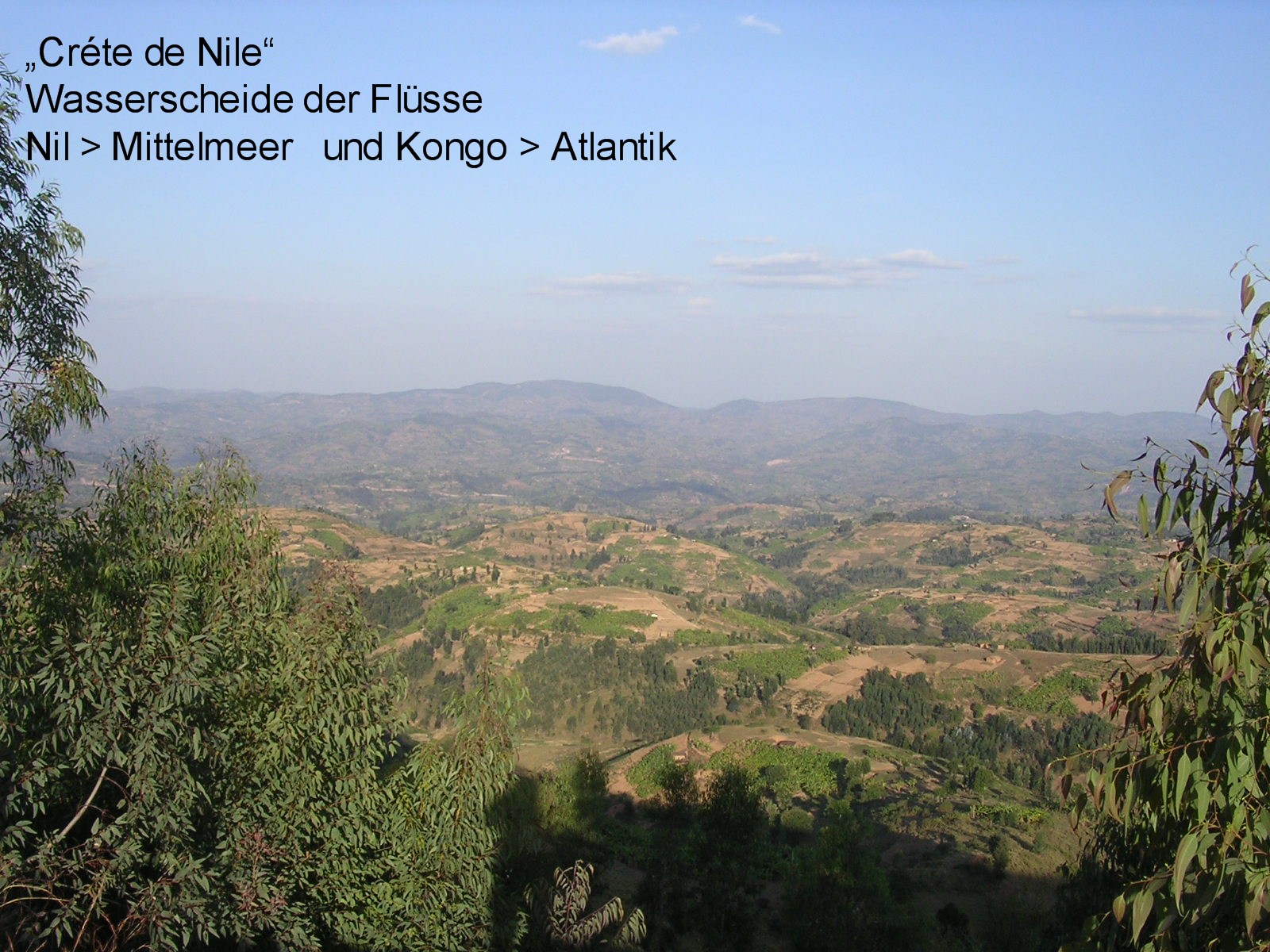
Ruanda: Geographically the headwaters of the Nile are in Ruanda in the western mountains (watersshed) between Lake Victoria (where the Nile-waters run into) and Lake Kiwu ° ° ° ° Geografisch liegen die Quellen des Nils in Ruanda im Gebirge zwischen Viktoria See, in den sie abfließen und dem Kiwu-See
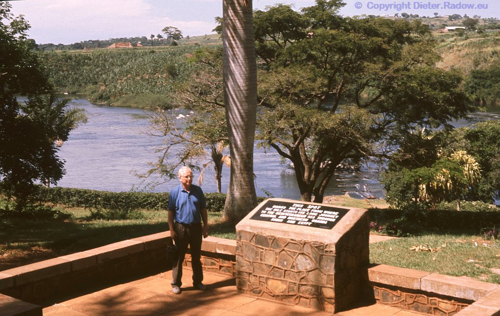
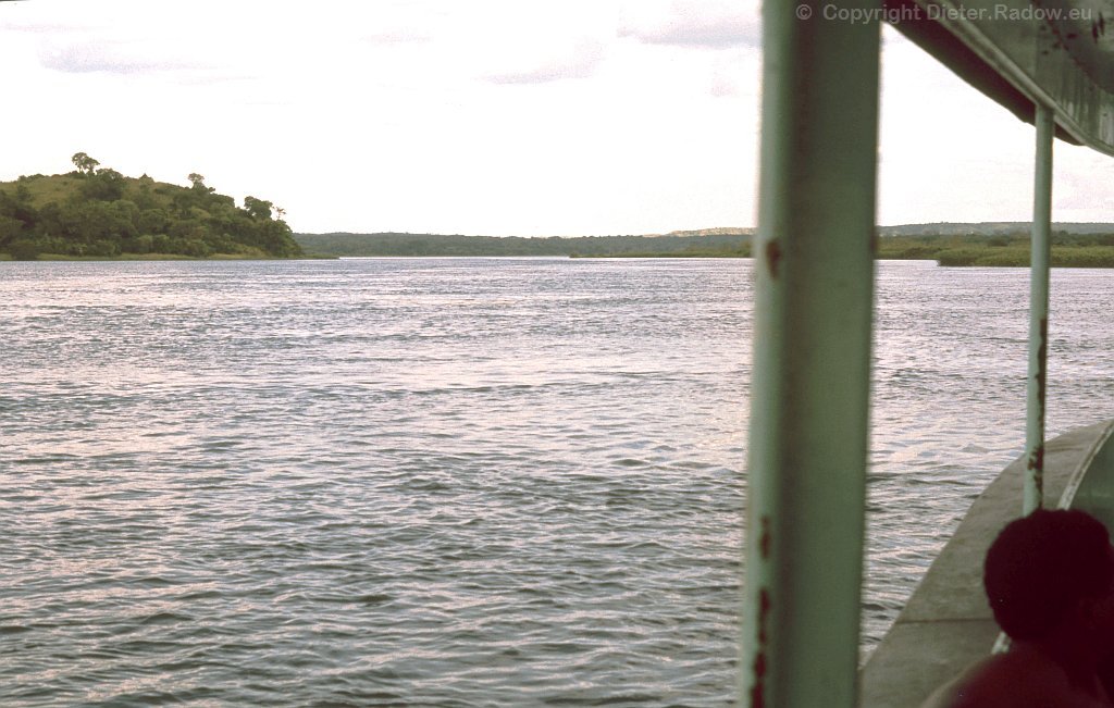
Source of the Nile in Uganda 1990 – this is by decision of British colonial authorities the point, where the river Nile rises.
Nilquelle in Uganda 1990 – hier beginnt nach britischem Kolonial-Spruch der Weiße Nil
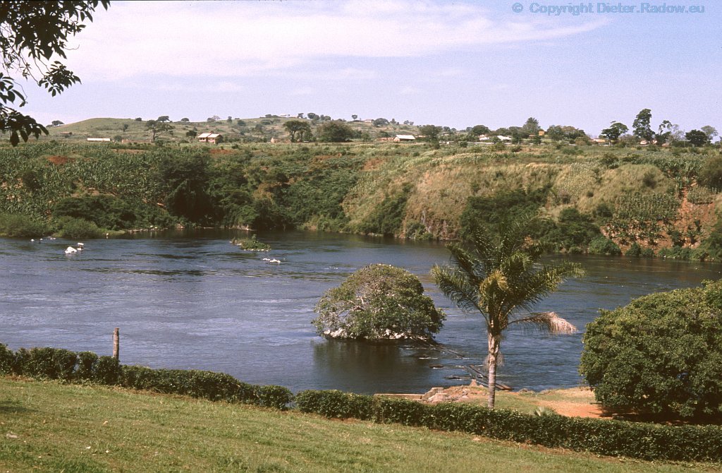
Uganda 1990 leftside the underwater-path belongs to Viktoria-Lake – to the right starts the River Nile
Nilquelle in Uganda 1990 – links von dem Steg zu dem Baum im Wasser rechnet noch zum Vikoria-See; rechts davon beginnt der Weiße Nil
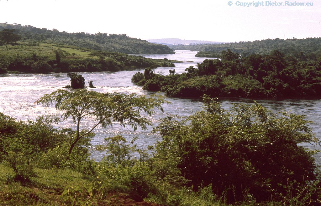
The White Nile betwenn Lake Victoria and the town of Jinja (here also called Victoria Nile)
Der Weiße Nil in Uganda zwischen Viktoria-See und der Stadt Jinja (hier auch Viktoria-Nil genannt)
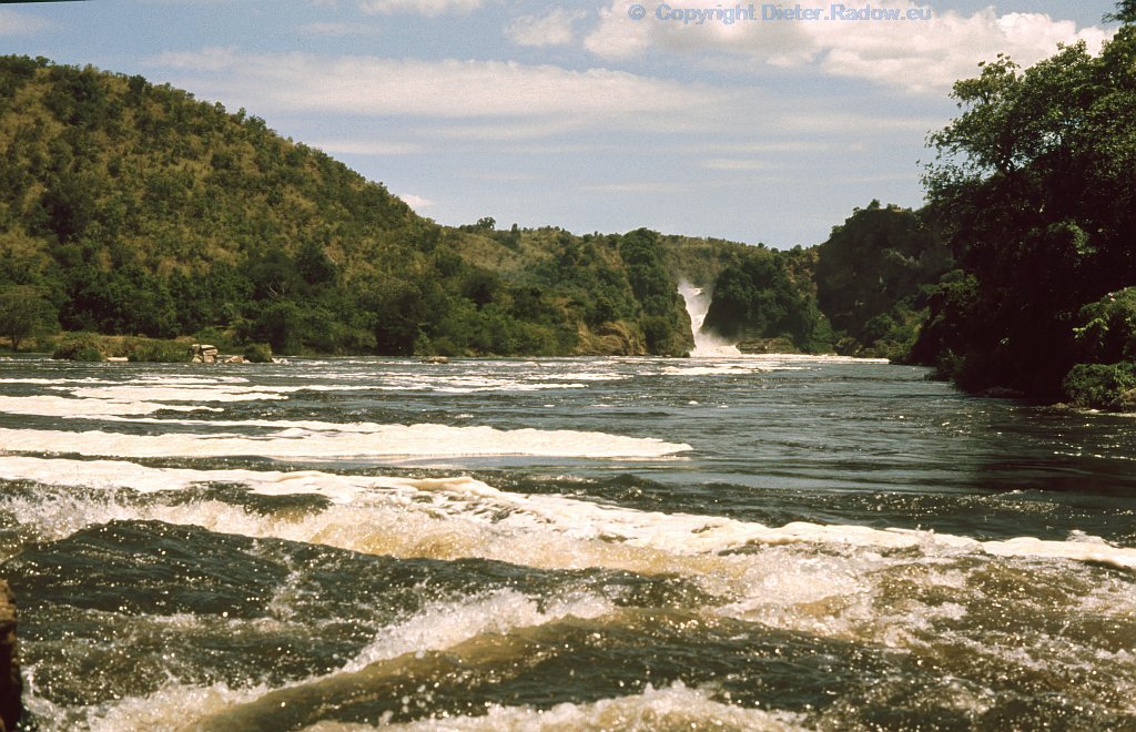
The White Nile forces through the Murchinson Fall. From here to its flow into the Lake Albert it is still called Victoria Nile, Below many crocodiles lie or swim in wait for dead animals, smashed in the gorge
Der Nil (hier noch Viktoria Nil genannt) zwängt sich in seinem nördlichsten Abschnitt vor der Einmündung in den Albert-See durch die enge Schlucht des Murchison Falls. Unten wimmelt es von Krokodilen da wohl manches Tier im Fall -tot oder lebendig- zerschmettert wird
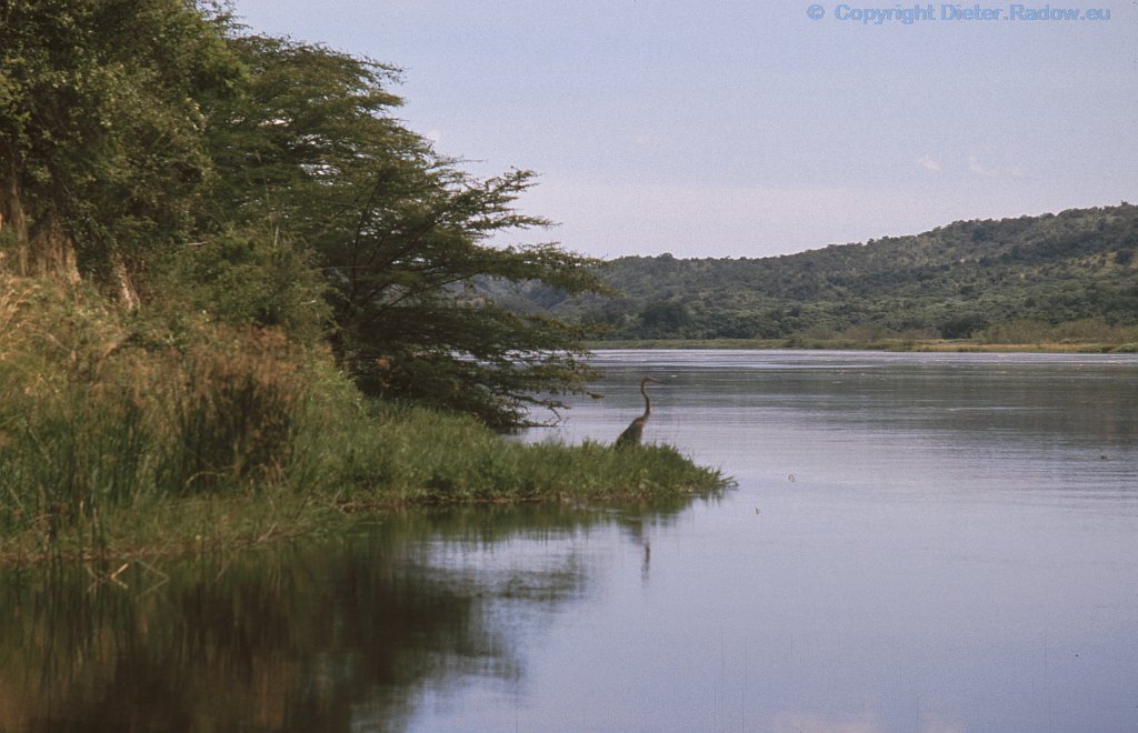
Victoria Nile directly below the boat-barrier to the Murchison Falls. Here the water and the banks also are teeming with crocodiles
Victoria Nil direkt unter der Boots-Barriere vor den unteren Stromschnellen des Wasserfalls. Die Idylle trügt. Auch hier wimmelt es von Krokodilen, im Wasser treiben wohl reichlich zerschmetterte Tierteile.
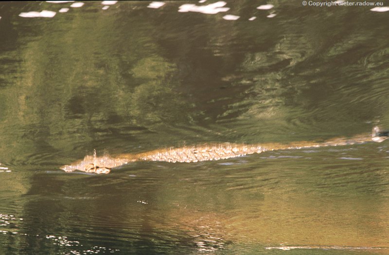
Uganda: ° ° crocodile swimming with a small fish in the Victoria Nile below the Murchinson-Falls – the boat has an 1 meter high kerb against attacks ° ° Krkodil schwimmt mit Fisch unterhalb des Murchinson Falls. – Das Boot hat eine 1 m hohe stählerne Bordkante gegen Angriffe aus dem Wasser °
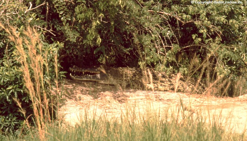
Uganda: ° ° ° lurking crocodile on the bank of the Victoria Nile below the Murchinson-Falls ° ° ° Krokodil am Ufer des Viktoria-Nils lauert auf Beute unterhalb der Murchinson Fälle. – Beobachtung vom Boot aus
WHITE NILE AND BLUE NILE WEISSER NIL UND BLAUER NIL
Sudan 1990 below Khartoum – confluence of White and Blue Nile
Sudan 1990 bei Omdurman unterhalb Kharthums – Zusamenfluß von Weißem und Blauem Nil
Sudan 1990 near Omdurman below Kharthoum – the stream of the Blue Nile (left) rans into the White Nile (comming from right)
Sudan 1990 bei Omdurman unterhalb Kharthums – Wasser-Strom des Blauen Nils (links) fließt in den Weißen Nil (von rechts kommend)
BLUE NILE BLAUER NIL
Blue Nile in Ethiopia 1997, where the river rises
Äthiopien 1997 Tal des Blauen Nils – im Hochland von Äthiopien entpringt dieser Nilzufluß
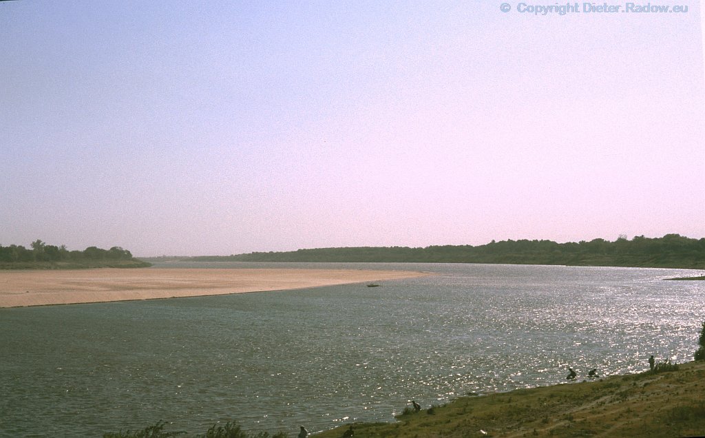
Blue Nile in Sudan 1990 near Wad Medani
Blauer Nil im Sudan 1990 bei Wad Medani im Innenbogen versandet.
DER VEREINIGTE NIL ab KHARTUM – THE JOINT NILE below of KHARTOUM
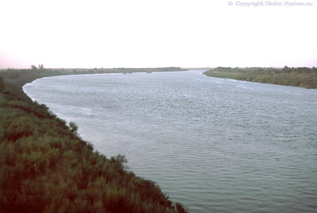
Sudan: Joint Nile running to the left (northwards)
Sudan: Der vereinigte Fluß fließt hier nach links in Richtung Norden
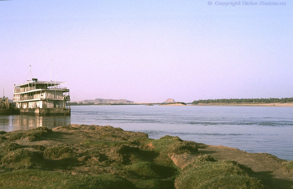
Sudan near Merowe 1990. From here, below the 2nd cataract, in better times boats were running on the Nile through the dessert to Egypt
Sudan bei Merowe 1990 – Von hier unterhalb des 2. Katarakts fuhren früher Schiffe durch die Wüste bis nach Ägypten.
Egypt: The updammed Nile below Abu Simbel. Beside the rocks in the background the river runs from Sudan into the Nasser Dam Lake
Ägypten Abu Simbel 1984 – Bei den Felsen fließt der Nil aus Sudan kommend bei Wadi Halfa in den Nasser-Stausee
Egypt – historic water-level indicator at the 1st cataract ° ° Assuan 1984 ° ° Ägypten – Historischer Wasserstandsanzeiger (Nilometer) am 1. Katarakt
Egypt Assuan 1984 – The Nile´s 1st cataract; only very small boats can pass partly.
Ägypten Assuan: der Nil beim 1. Katarakt 1984 – nur kleinste Boote können einzelne Abschnitte der Stromschnellen befahren
Egypt Assuan 1984 below the cataract: view over the river
Ägypten in Assuan 1984 – Blick vom Dampfer-Anlege-Kai über den Fluß (unterhalb des Katarakts)
Egypt 1984: the Nile near Tell el Amarna – floating water hyacinths ° ° ° Ägypten 1984: Nil bei Tell el Amarna – treibende :blau-blühende Wasserhyazinthen
CAIRO KAIRO
Egypt 1984, the Nile south of Cairo ° ° ° ° Ägypten 1984 der Nil fließt durch Kairo, hier im Süden der Stadt
Egypt Cairo 1984 – The river Nille runs through the Capital (aerial photo) ° ° ° ° Ägypten Kairo 1984 – Luftaufnhame der nördlichen Hauptstadt mit Nil-Insel
Egypt Cairo 1984 – The river Nille runs through the Capital ° ° ° ° Ägypten Kairo 1984 – Der Nil fließt mitten durch die Hauptstadt (recht Nil-Insel)
Egypt El-Mansura 1984 – one arm of the river Nile runs through the delta-city ° ° ° ° Ägypten Kairo 1984 – Ein Arm des Nils in seinem Delta fließt durch die Deltastadt El Mansura
NIGER NIGER
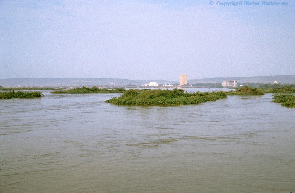
the river Niger runs fanned out along the capital Bamako from south to north ° ° Mali Bamako 2000 ° ° Der Nigerfluß fließt weit gefächert an der Hauptstadt Bamako von Süden nach Norden vorbei
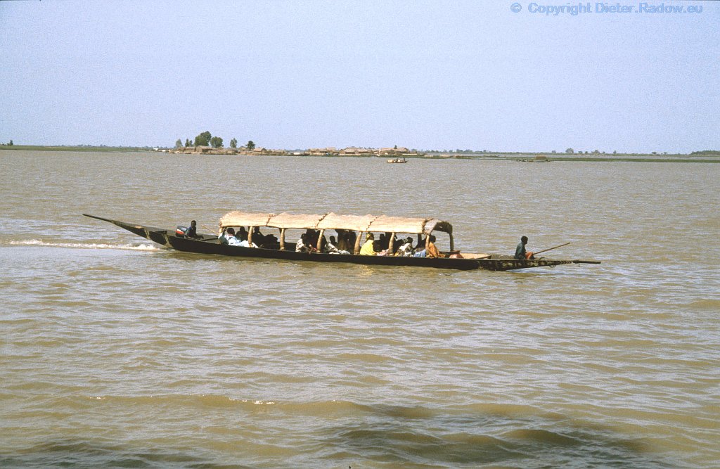
long distance ferry on the Niger-river ° ° Mali Mopti 2000 ° ° Personen- Fährschiff auf dem Niger-Fluß unterwegs nach Mopti
seasonal flood of the Niger-marshes near the province-capital of Mopti ° ° ° Mali Mopti Niger ° ° ° Jahreszeitlich übliche Überschwemmung der Nigermarsch gegenüber der Provinzhauptstadt Mopti
seasonal flood of the Niger-marshes near the province-capital of Mopti ° ° ° Mali Mopti Niger ° ° ° Jahreszeitlich übliche Überschwemmung der Nigermarsch gegenüber der Provinzhauptstadt Mopti
this ship runs one time the week to Timbouktu ° ° Mali – Mopti 2000 ° ° Das Schiff fährt im Linienverkehr auf dem Nigerfluß nordwärts nach Timbuktu
ferry boat crossing the river Niger near the province-capital of Mopti ° ° Mali Mopti Niger ° ° Personenfähre über den Niger zu der Provinzhauptstadt Mopti
CONGO KONGO
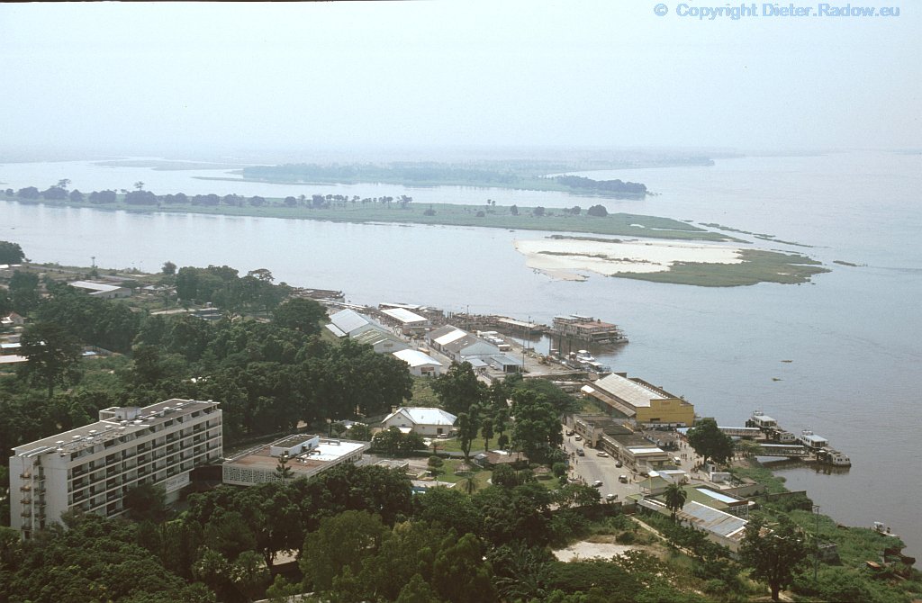
Congo river-pool east of Brazzaville and Kinshasa, a gigantic river-lake area ° ° ° Kongo bei Brazzaville 1996 – Pool, zu einem riesigen Seengebiet verzweigter Fluß-Abschnitt, direkt oberhalb der Städte Kinshasa (Zaire) und Brazzaville
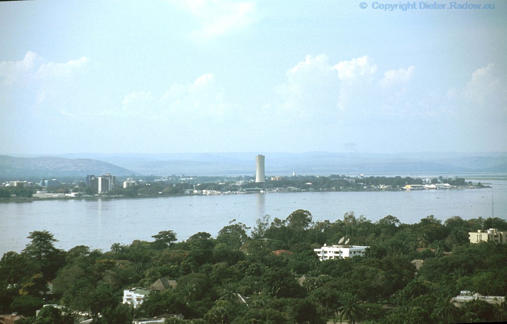
Congo 1995: View over the river from Brazavile to Kishasa ° ° ° Kongo Brazzaville 1995 – Aussicht von Brazzaville aus nach Westen über den Flußlauf und den westlichen Teil Kinshasas
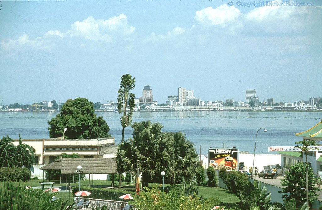
Congo: silhouette of Kinshasa 1995 at the other side of the river ° ° ° Kongo 1995 – Silhouette der Stadt Kinshasa auf der gegenüberliegenden Flußseite
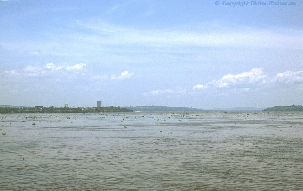
Congo 1995: the mighty river between the two capitals Kinshasa and Brazzaville – view from ferry-boat downstream ° ° ° Kongo 1995 – der mächtige Strom zwischen den Hauptstädten Kinshasa und Brazzaville – Blick von der Fähre stromabwärts
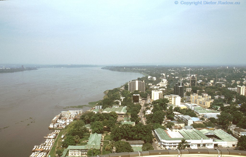
Congo 1995: the mighty river between the capitals Kinshasa (left side) and Brazzaville (righthand) – view from a multi-storey bildung in Brazzavile downstream ° ° ° * Kongo 1995 – der mächtige Strom zwischen den Hauptstädten Kinshasa und Brazzaville – Blick von einem Hochhaus in Brazzaville stromabwärts
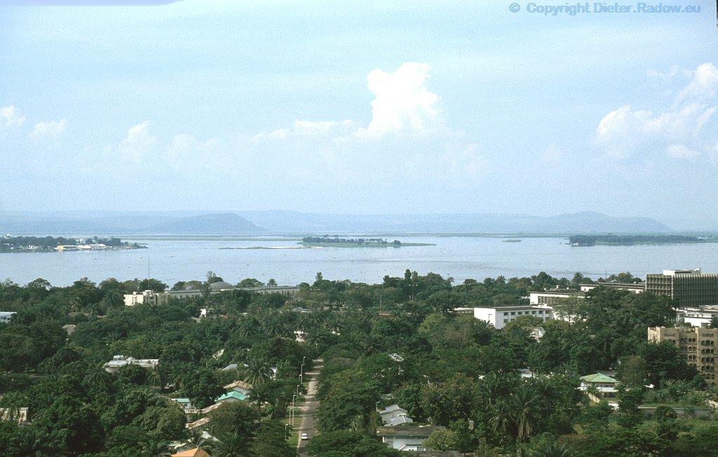
Kongo Kinshasa 1995 – Blick vom Hilton-Hotel in Kinshasa (Zaire) flußaufwärts auf den Pool, der sich noch weiter nach links und rechts erstreckt
Congo 1995: view from Hilton-Hotel roof in Kinshasa (Zaire) upstream. Within the pool (in the back) the river Congo widens to right and left
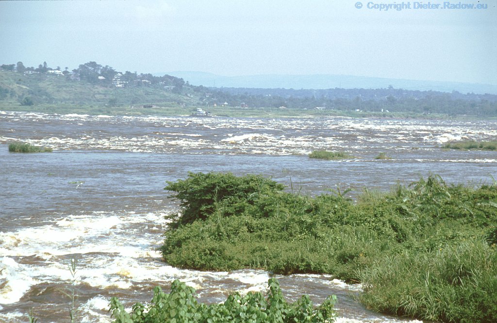
Congo Kinshasa 1995 – Stromschnellen machen Schiffsverkehr zwischen dem Atlantik und den Metropolen Kinshasa und Brazzaville unmöglich.° ° °
rapids of the river Congo make shipping between the Atlantic Sea and the capitals Kinshasa and Brazzaville impossible.
GAMBIA-FLUSS – GAMBIA-RIVER
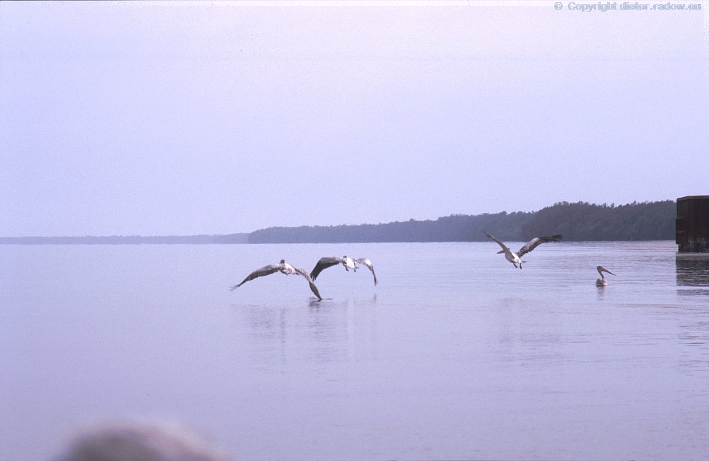
the Gambia river has here in the country with the same name an unexpected broadness ° ° ° Gambia 1986 – Der Gambia-Fluß hat hier im gleichnamigen Staat Gambia eine unerwartete Breite
SAMBESI – SAMBESI
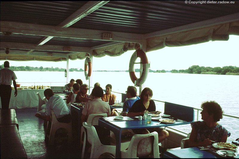
Simbawe – Sambesi 1991 ° ° ° Cruise above the Victoria Falls at lowwater of the Sambesi ° ° ° Schiffsfahrt oberhalb der Viktoria Fälle bei Niedrigwasser des Sambesi
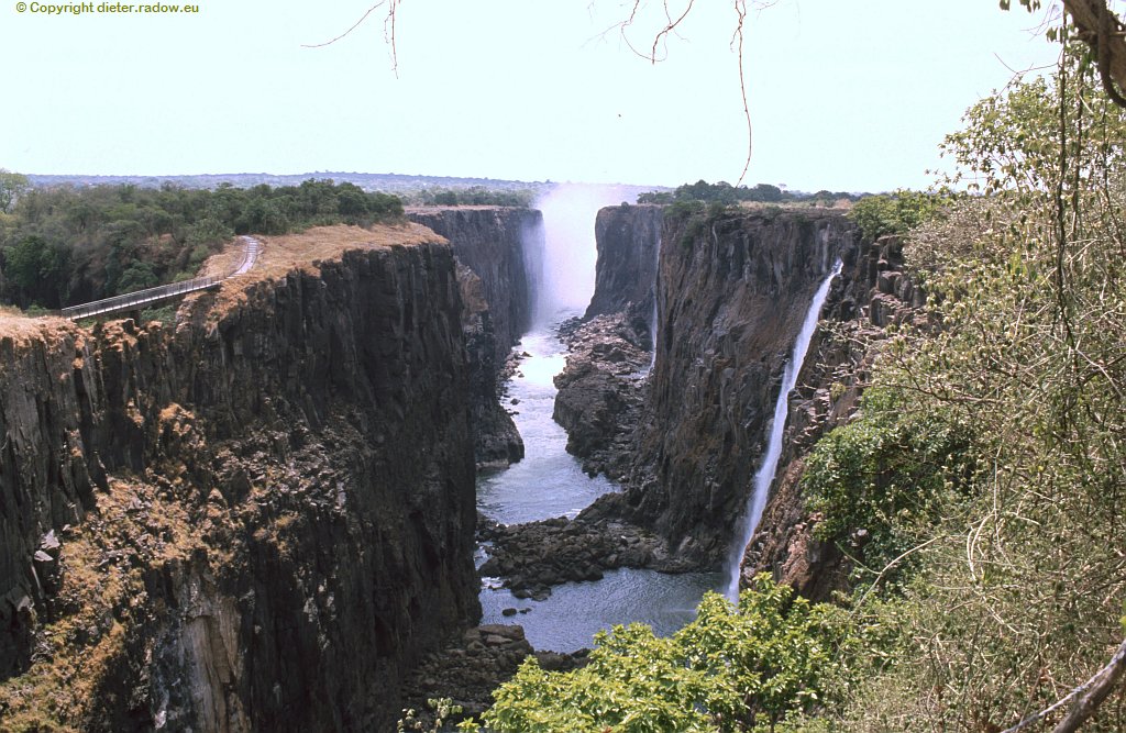
Simbawe – Sambesi 1991 ° ° ° The Victoria Falls at low water of the Sambesi river ° ° ° Viktoria Fälle bei Niedrigwasser des Sambesi
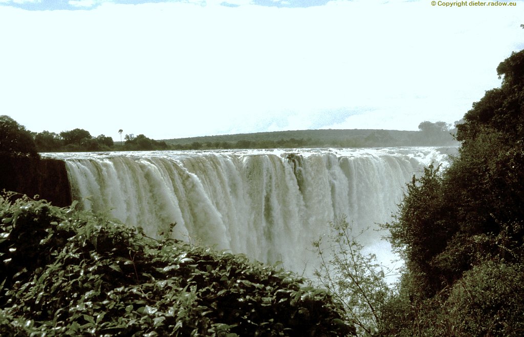
Simbawe – Sambesi 2000 ° ° ° The Victoria Falls at high water of the Sambesi ° ° ° Viktoria Fälle bei hohem Wasser des Sambesi
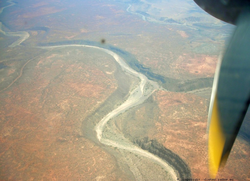
Djibouti: little water in a dessert fluvial bed ° ° ° Dschibuti ganz wenig Wasser in einem Wüsten-Flußbett
EUPHRAT und TIGRIS - EUPHRAT and TIGRIS
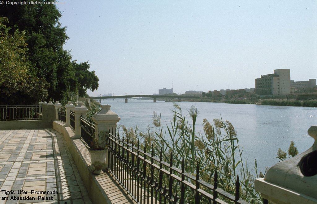
Irak Bagdad 1995 – der Tigris zwischen Altstadt (links Fußweg am Abassiden-Palast) und Neustadt (rechts) ° ° °
Iraq Bagdad 1995 – the river Tigris between the ancient town (lefthand: sidewalk at the Abbasid-Palace) and the new City (right of the river)
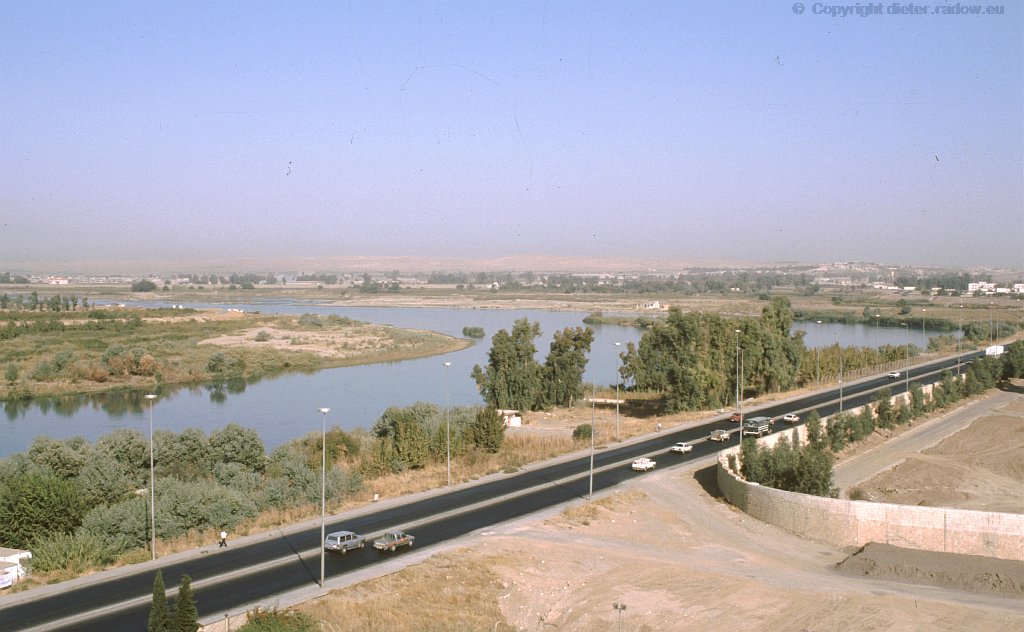
Iraq – Mossul 1995 – the river Tigris north-east of the city ° ° ° ° Irak – Mossul 1995 – der Tigris nordöstlich der Stadt Mossul
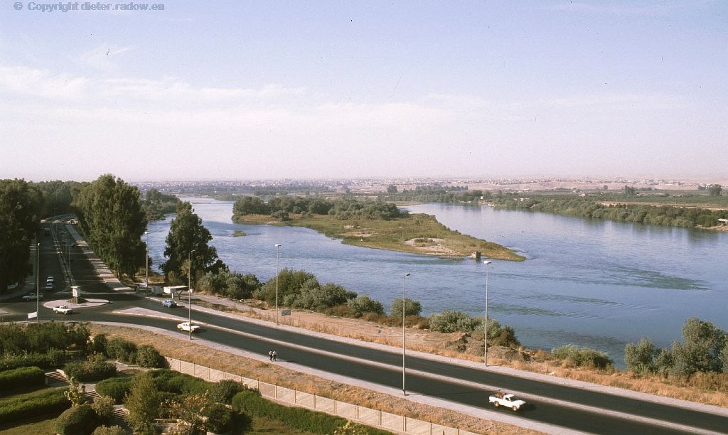
Iraq – Mossul 1995 – the river Tigris north of the city ° ° ° ° Irak – Mossul 1995 – der Tigris nördlich der Stadt Mossul
BANGLADESCH - BANGLADESH
Bangladesh – Ganges near Goalundi 2009 – permanent ferry-traffic across the verry wide river
Bangladesh – Ganges bei Goalundi 2009 – ständiger Fährverkehr quer über den hier sehr breiten Fluß
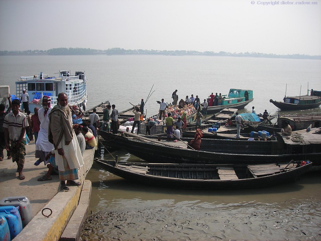
Bangladesh – Sundarbarn 2009 – river-harbour in the Ganges-Delta Sundarban
Bangladesh – Sundarbarn 2009 – Flußhafen im Gangesdelta Sudaban
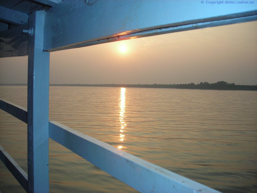
Bangladesh – Sundarbarn 2009 – sunset in the Ganges-Delta Sundarban
Bangladesh – Sundarbarn 2009 – Sonnenuntergang am Ankerplatz im Gangesdelta Sudaban
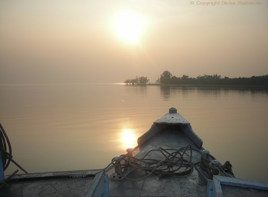
Bangladesh – Sundarbarn 2009 – sunset over the Ganges-mouth – here: at the anchorage with view of the ocean
Bangladesh – Sundarbarn 2009 – Sonnenuntergang am Ankerplatz direkt an der Gange-Mündung mit Blick auf den Ozean
BURMA - BIRMA - MYANMAR
AYEYARWADY – RIVER IRRAWADDY FLUSS
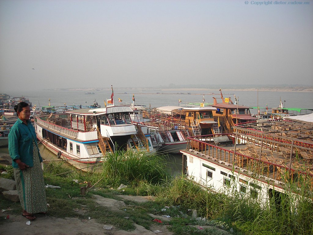
Birma (Myramar) – Ayeyarwady 2012 ° ° ° view over the mighty river near the city. The fleet of pleasure-boats take the pilgrims and tourists to Buddhist shrines at the riverbanks nearby ° ° Blick über den mächtigen Fluß. Ausflugsboote bringen Pilger zu verschiedenen buddhistischen Heiligtümern
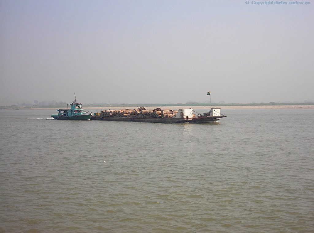
Birma (Myramar) – Irrawaddi 2012 ° ° ° view over the mighty river near the city of Amarapura, called the street to Manderlay. We are shipping to the monastery of Mingun ° ° ° Blick über den mächtigen Fluß Irrawadi, der in den Bergen des Himalaya entspringt. Unser Bootsfahrt geht von Amarapura zum Kloster Mingun auf der westlichen Flußseite. .
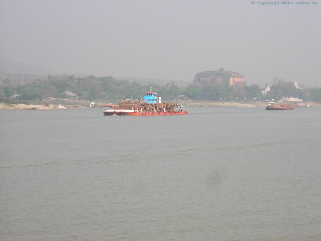
Birma (Myramar) – Ayeyarwady 2012 – view from our ship to the monastery of Mingun ° ° ° Myanmar Irrawaddy 2012 Blick vom Boot auf das Kloste Mingun
RANGOON RIVER RANGUN FLUSS
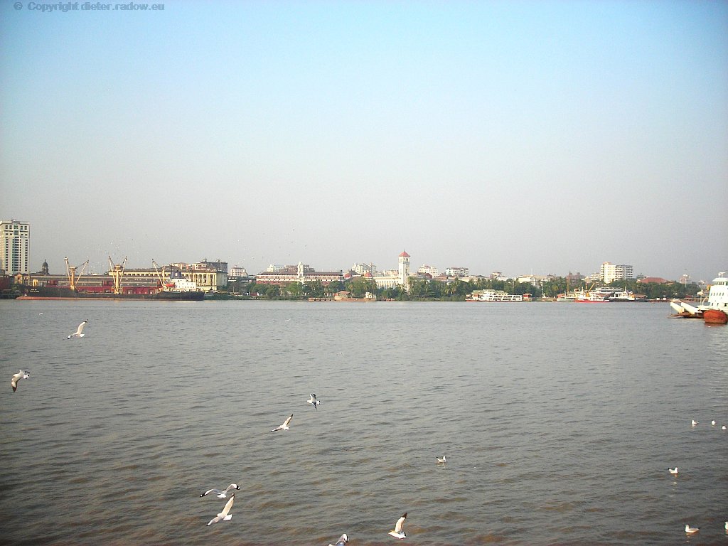
Birma (Myramar) – Rangoon-river 2012 ° ° ° view over the river to the city of Rangoon ° ° ° Blick über den Fluß zur die Innenstadt von Rangun
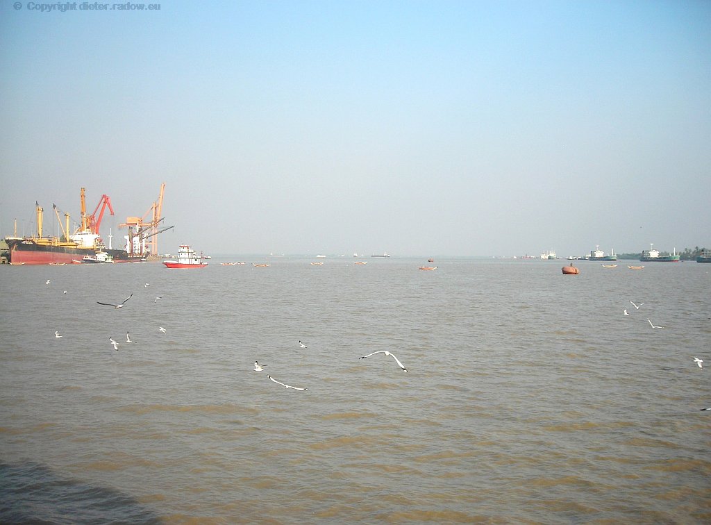
Birma (Myramar) – Rangoon-River 2012 ° ° ° view down the river from where sea-vessels reach the city of Rangoon ° ° ° Blick den Fluß hinab, von wo See-Schiffe den Hafen der Hauptstadt Rangun erreichen
MEKONG - MEKONG
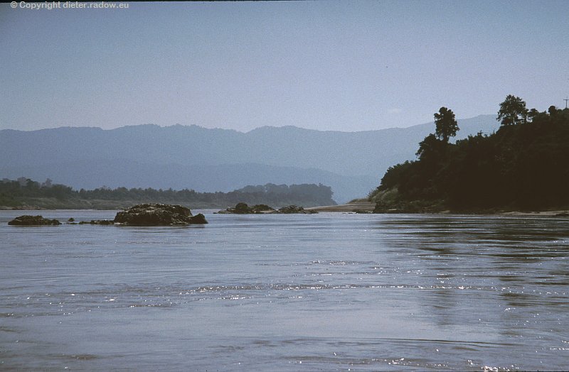
Laos 2003 ° ° ° dangerous rocks in the fairway of the river Mekong; view from the boat to the western bank, that belongs to Thailand. ° ° °
Gefährliche Felsklippen in der Fahrrinne des oberen Mekongs; Thailand rechts, Laos links
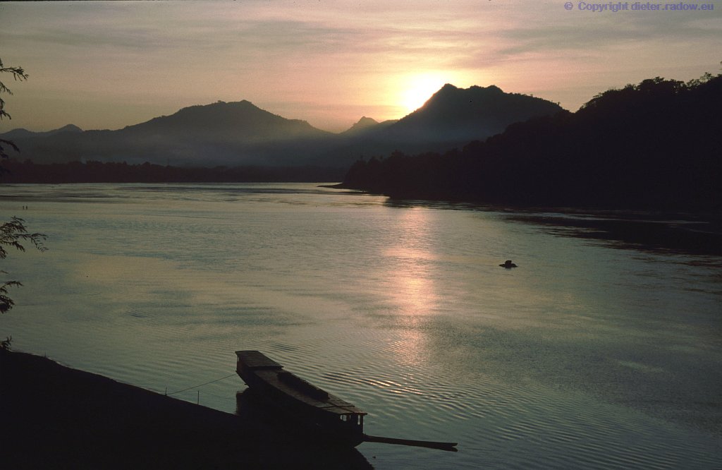
Laos 2003 ° ° ° ° sunset at the river Mekong; view over the stream from in Laos to the western bank, that belongs to Thailand. ° ° ° ° Sonnenuntergang am Mekong, der hier die Grenze zwischen Laos und Thailand bildet.
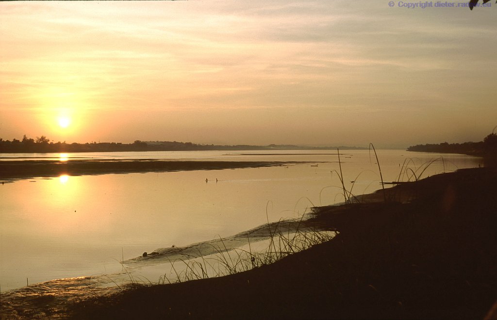
Laos 2003 ° ° ° sunset at the river Mekong; view over the stream from in Laos to the western bank, that belongs to Thailand. ° ° °
Sonnenuntergang am Mekong, der hier die Grenze zwischen Laos und Thailand bildet.
Cambodia 2003 ° ° sunset at the river Mekong; view during landing approach to Vientiane over the waters of the Mekong flood area near Kampong Cham, ° ° Sonnenuntergang am Mekong und Überschwemmungsgebieten nahe Kampong Cham beim Landeanflug auf die kambodschanische Hauptstadt Vientiame
Cambodia 2003 ° ° ° sunset at the river Mekong; view during landing approach to Pnom Phen over the waters of the stream and its flood area, ° ° ° Sonnenuntergang am Mekong und seinen riesigen Überschwemmungsgebieten; hier beim Landeanflug auf die kambodschanische Hauptstadt Vientiane

Vietnam – Mekong-Delta 1993 ° ° ° one of three Mekong-arms in the delta near My Tho° ° °
Einer der gewaltigen Mündungsarme des Mekong in seinem Delta bei My Tho
CHINA – CHINA
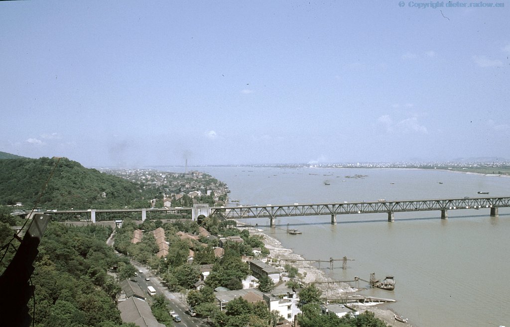
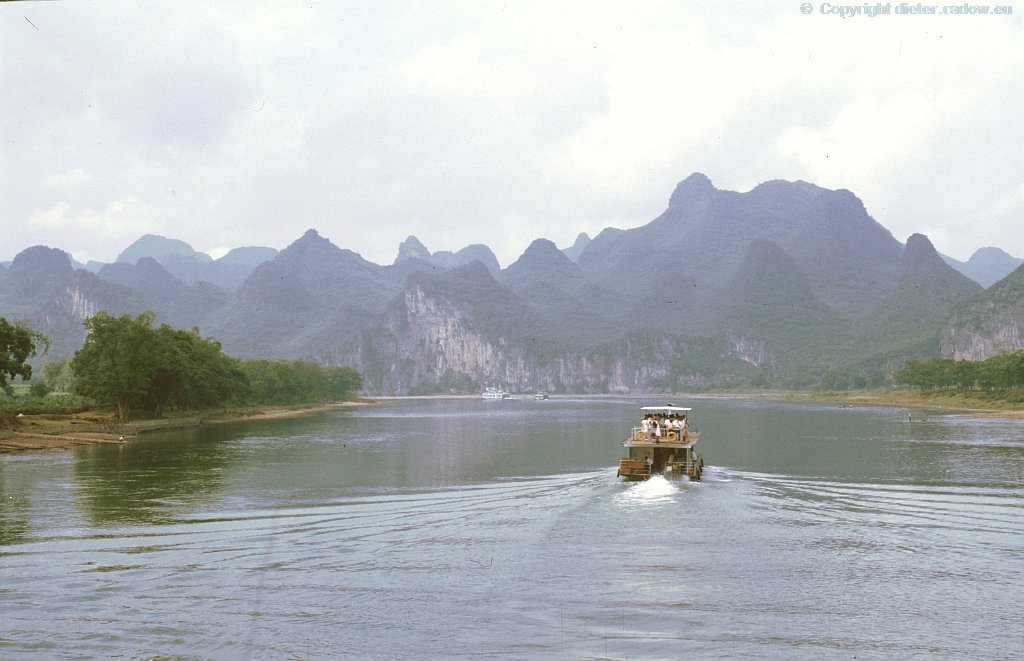
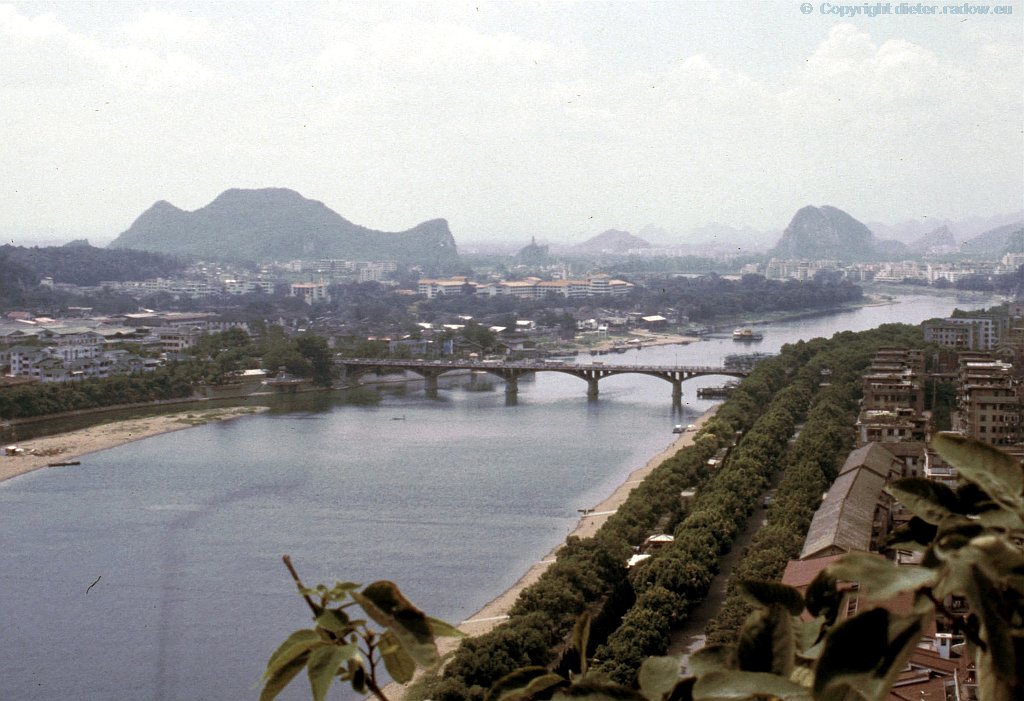
China 1994 Hangzhou Prov Zheijiang ° ° ° ° the river Qiantang near Hangzhou ° ° Fluß Qiantang mit Brücke bei Hangzhou
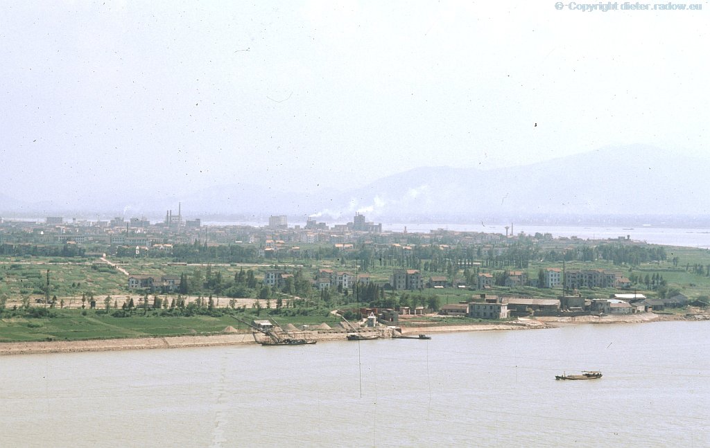
China 1994 Hangzhou Prov Zheijiang ° ° ° curve of the river Qiantang around Hangzhou ° ° ° Biegung des Flusses Qiantang um die Stadt Hangzhou
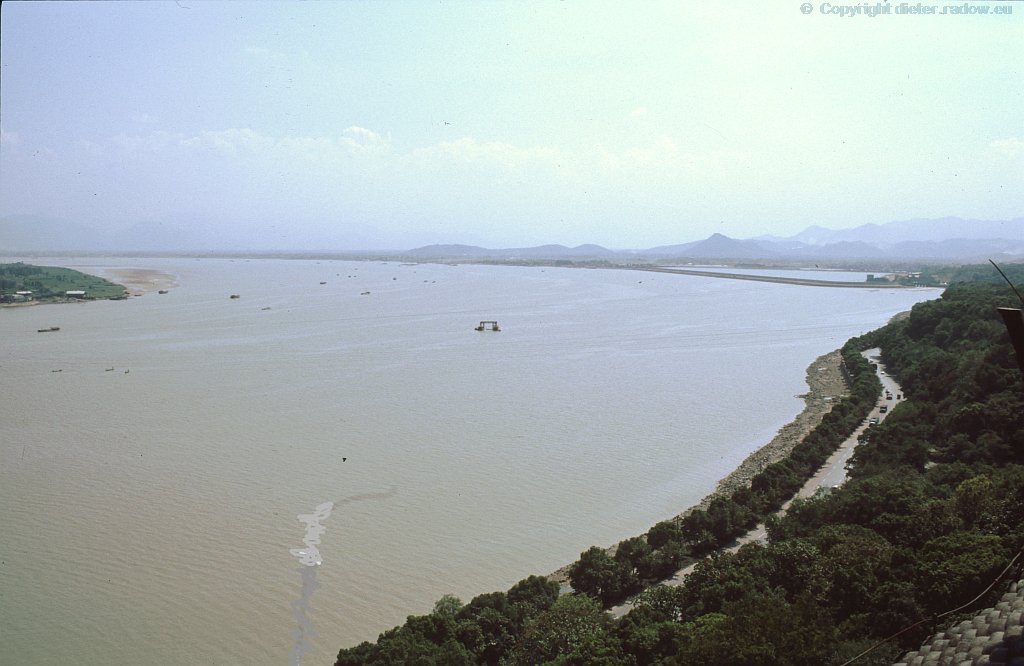
China 1994 ° ° ° curve of the river Qiantang around Hangzhou ° ° ° Biegung des Flusses Qiantang um die Stadt Hangzhou
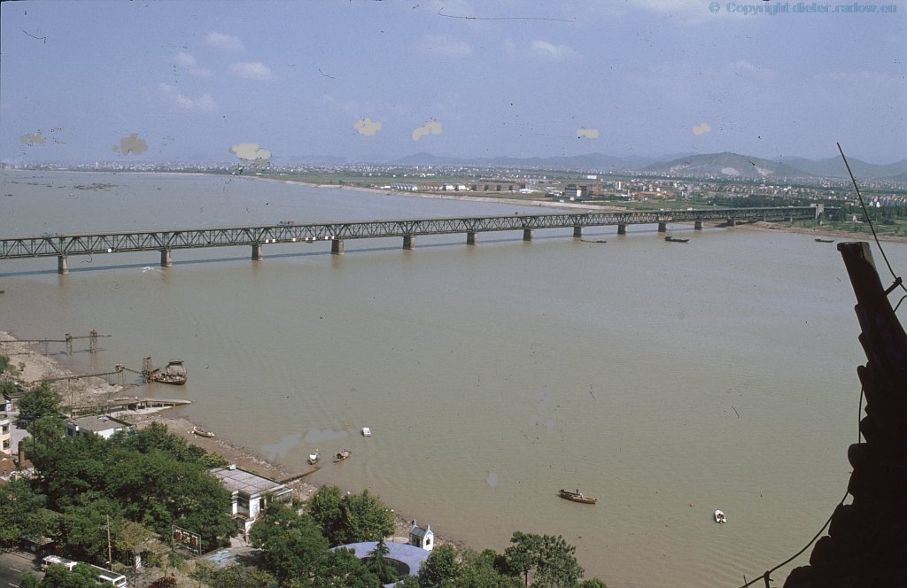
China 1994 Hangzhou Prov Zheijiang ° ° ° the river Qiantang near Hangzhou ° ° ° Fluß Qiantang mit Brücke bei Hangzhou
Turkey Güksu Nehri near Silifke, where Emperor Barbarossa drawned ° ° °
Türkei Güksu Nehri bei Silifke, wo Kaiser Barbarossa ertrank
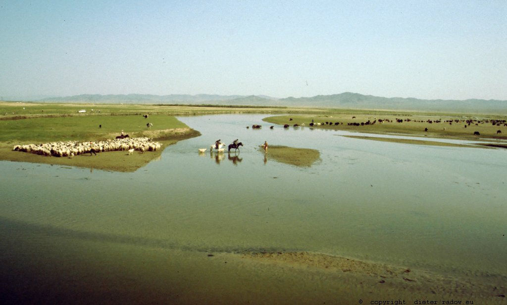
Mongolia 2002 – river in the Mongolian steppe, rising in the surrounding mountains ° ° °
Mongolei 2002 Steppenfluß, der in den umniegenden Bergen, nicht in der Steppe, entspringt
GUYANA - GUYANA
THE RIVER KAIETEUR Region Potaro-Siparuni der Fluss KAIETEUR
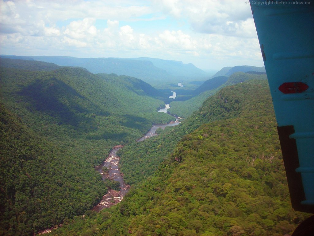
Guyana 2009 ° ° ° the river Kaieteur in the Potaro gorge in the South-American djungel ° ° °
Der Fluß Kaieteur in der Potaro Schlucht im südamerikanischen Urwald unterhalb des Wasserfalls
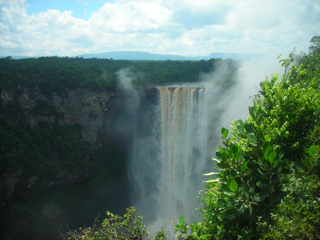
Guyana 2009 ° ° ° the river Kaieteur in the South-American djungel; supposed the highest fall of the world with Meter ° ° ° ° Der Fluß Kaieteur im südamerikanischen Urwald; er soll mit 110 Metern der höchte Wasserfall der Welt sein
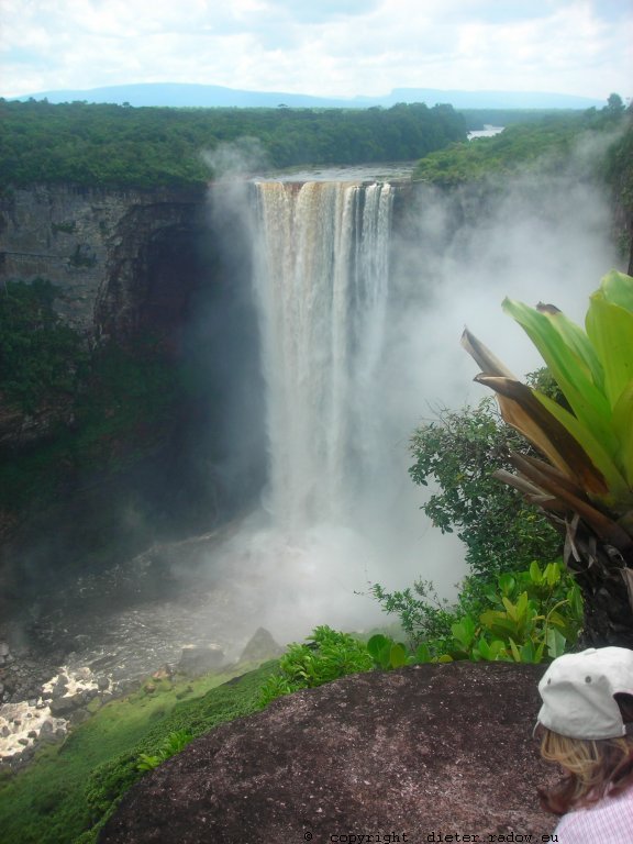
Guyana 2009 ° ° ° the river Kaieteur in the South-American djungel; supposed the highest fall of the world with Meter ° ° ° ° Der Fluß Kaieteur im südamerikanischen Urwald; er soll mit 110 Metern der höchte Wasserfall der Welt sein
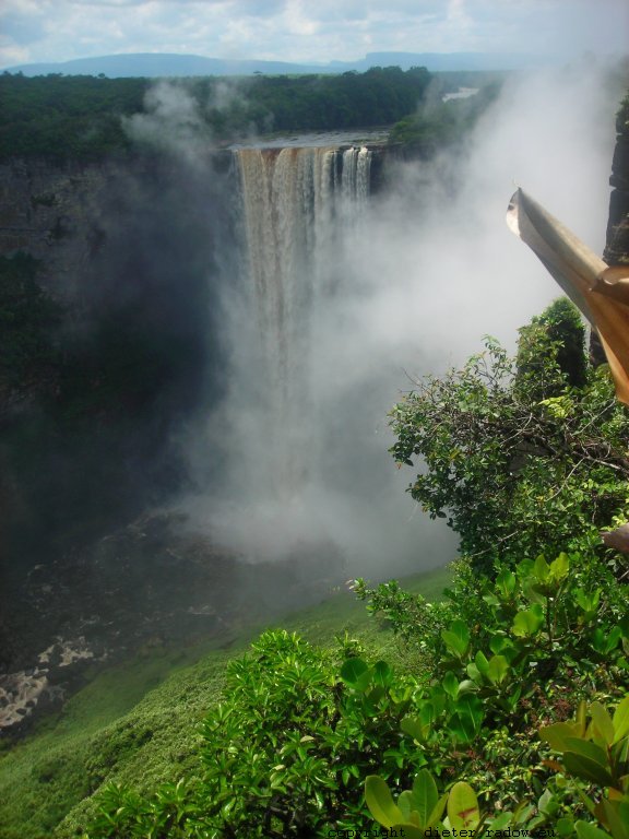
Guyana 2009 ° ° ° the river Kaieteur in the South-American djungel; supposed the highest fall of the world with Meter ° ° ° ° Der Fluß Kaieteur im südamerikanischen Urwald; er soll mit 110 Metern der höchte Wasserfall der Welt sein
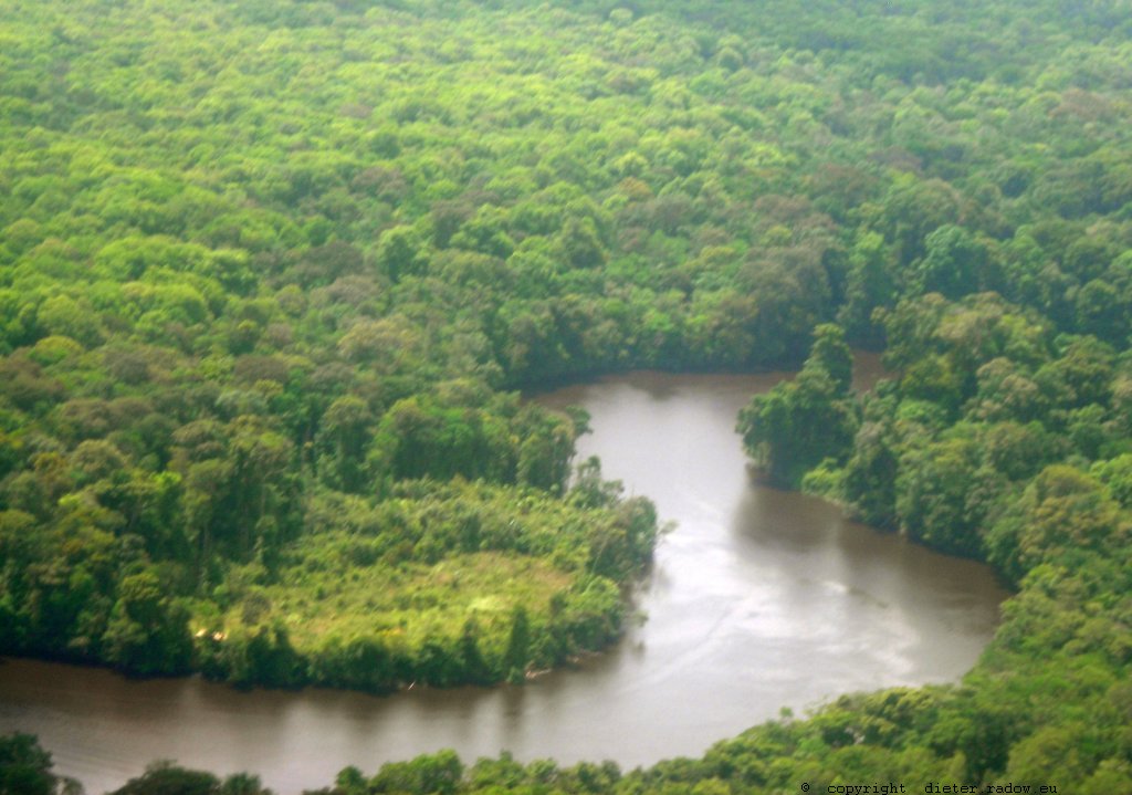
Guyana 2009 ° ° ° the river Kaieteur in the jungel of the South-American east plain ° ° ° Der Fluß Kaieteur im Dschungel des südamerikanischen Urwalds
Iguazzu
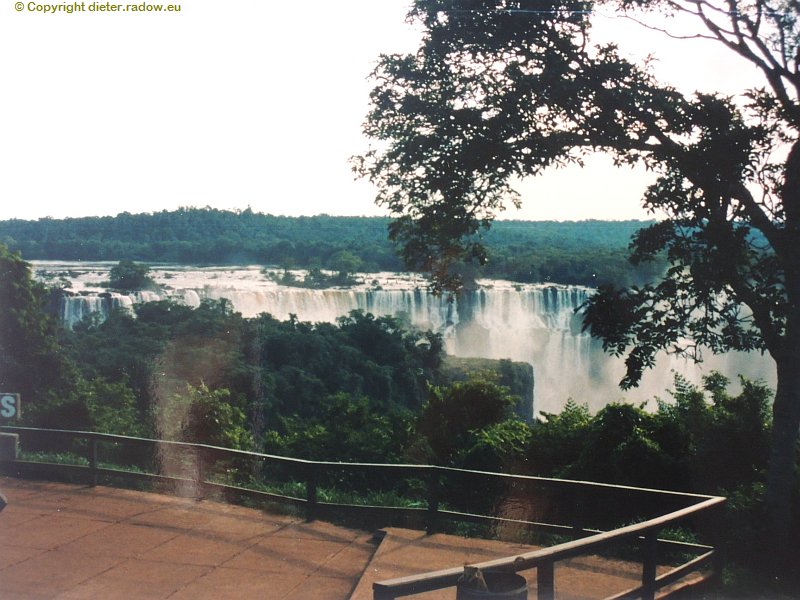
Argentina 1993 Falls of the Iguazzu-River at the Brazil border ° ° ° Argentinien 1993 Iguazzu-Wasserfälle an der Grenze zwischen Argentinien und Brasilien
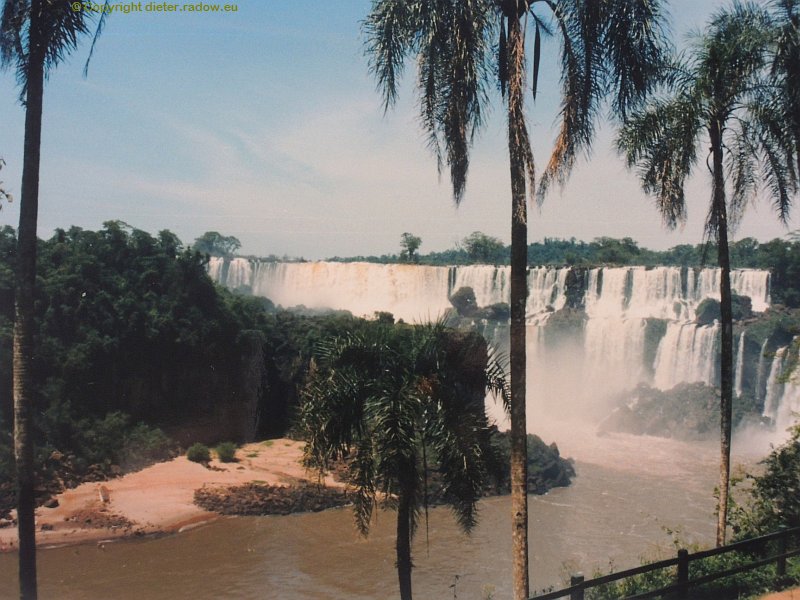
Argentina 1993 Falls of the Iguazzu-River at the Brazil border ° ° ° Argentinien 1993 Iguazzu-Wasserfälle an der Grenze zwischen Argentinien und Brasilien
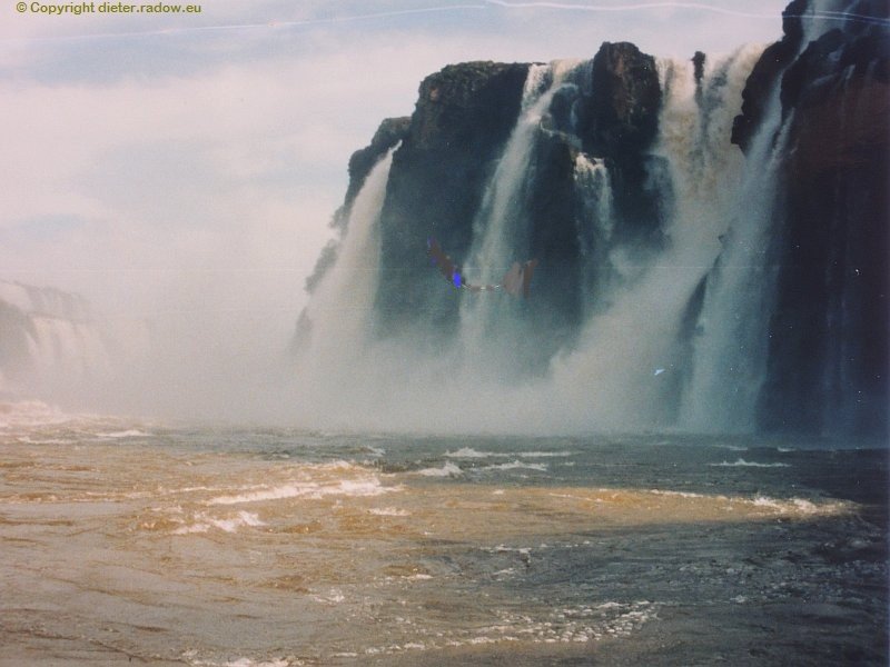
Argentina 1993 Falls of the Iguazzu-River at the Brazil border ° ° ° Argentinien 1993 Iguazzu-Wasserfälle an der Grenze zwischen Argentinien und Brasilien
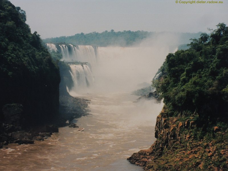
Argentina 1993 Falls of the Iguazzu-River at the Brazil border ° ° ° Argentinien 1993 Iguazzu-Wasserfälle an der Grenze zwischen Argentinien und Brasilien
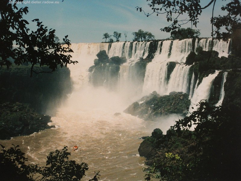
Argentina 1993 Falls of the Iguazzu-River at the Brazil border ° ° ° Argentinien 1993 Iguazzu-Wasserfälle an der Grenze zwischen Argentinien und Brasilien
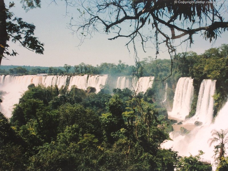
Argentina 1993 Falls of the Iguazzu-River at the Brazil border ° ° ° Argentinien 1993 Iguazzu-Wasserfälle an der Grenze zwischen Argentinien und Brasilien
USA AMERICA VEREINIGTE STAATEN von NORDAMERIKA
DONAU DANUBE
Austria 2012 – the river Danube between the hills of the region Wachau
Österreich 2012 – Die Donau zwischen der Bergen der Wachau
Austria 2012 – the river Danube between the hills of the region Wachau
Österreich 2012 – Die Donau zwischen der Bergen der Wachau
Hungary 2012 – the river Danube below a dam
Ungarn 2012 – Die Donau unterhalb einer der ca 20 Staudämme.- auf der Fahrt zwischen Passau und Budapest waren 20 Schleusungen notwendig; die Donau weist in diesem Abschnitt insgesamt einen Höhenunterschied von 200 Meter auf. .
Hungary 2012 – the river Danube below a dam
Ungarn 2012 – Die Donau unterhalb einer der ca 20 Staudämme.- auf der Fahrt zwischen Passau und Budapest waren 20 Schleusungen notwendig; die Donau weist in diesem Abschnitt insgesamt einen Höhenunterschied von 200 Meter auf. .
RHEIN – RHINE
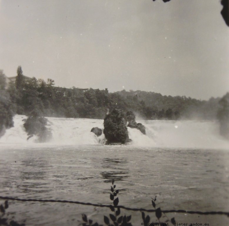
Switzerland 1953: the Rhine-Fall of Schaffhausen ° ° ° ° Schweiz 1953 – der Rehinfall von Schaffhausen
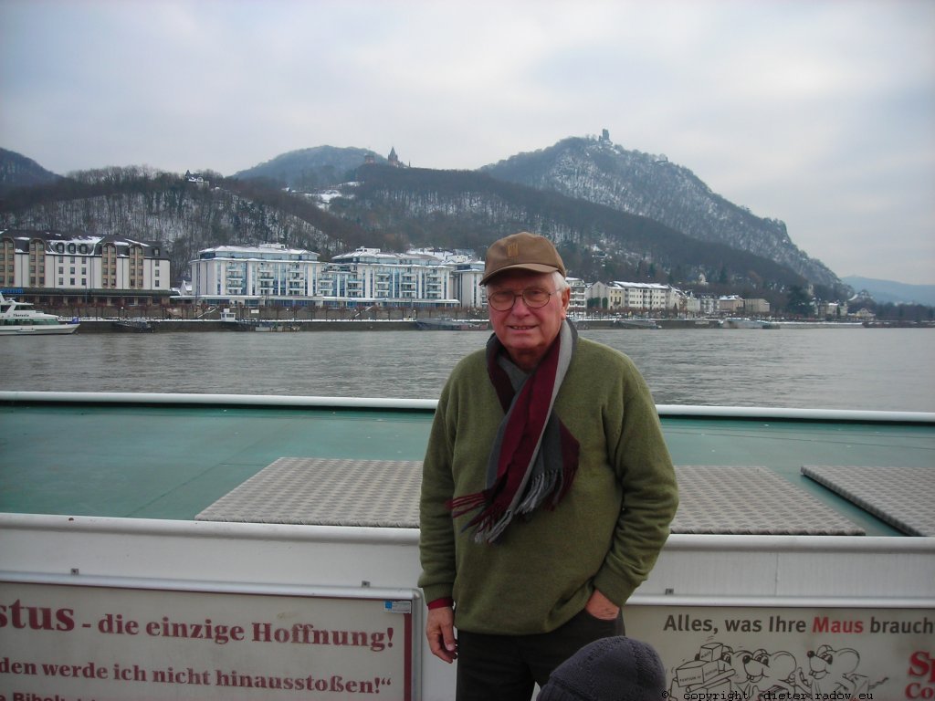
Germany at Bad Godesberg 2011 – the beautiful Rhine valley:blocked with multi storey buildings ° ° °
Deutschland Bad Godesberg. Das malerische Rheintal verbaut mit gesichtslosen Hochhäusern
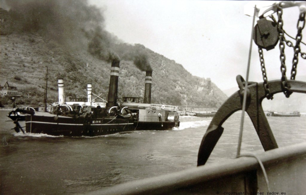
Germany 1949 – the Rhine near the rock of Loreley – steam-tugs
Deutschland 1949 – Der Rhein in Höhe des Loreley-Felsens mit damals gebräuchlichen Kohle-Dampf-Schleppern
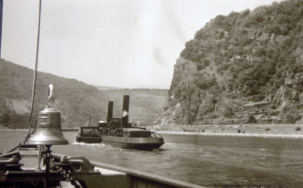
Germany 1949 – the Rhine near the rock of Loreley – steam-tugs
Deutschland 1949 – Der Rhein in Höhe des Loreley-Felsens mit damals gebräuchlichen Kohle-Dampf-Schleppern
ELBE - ALBIS
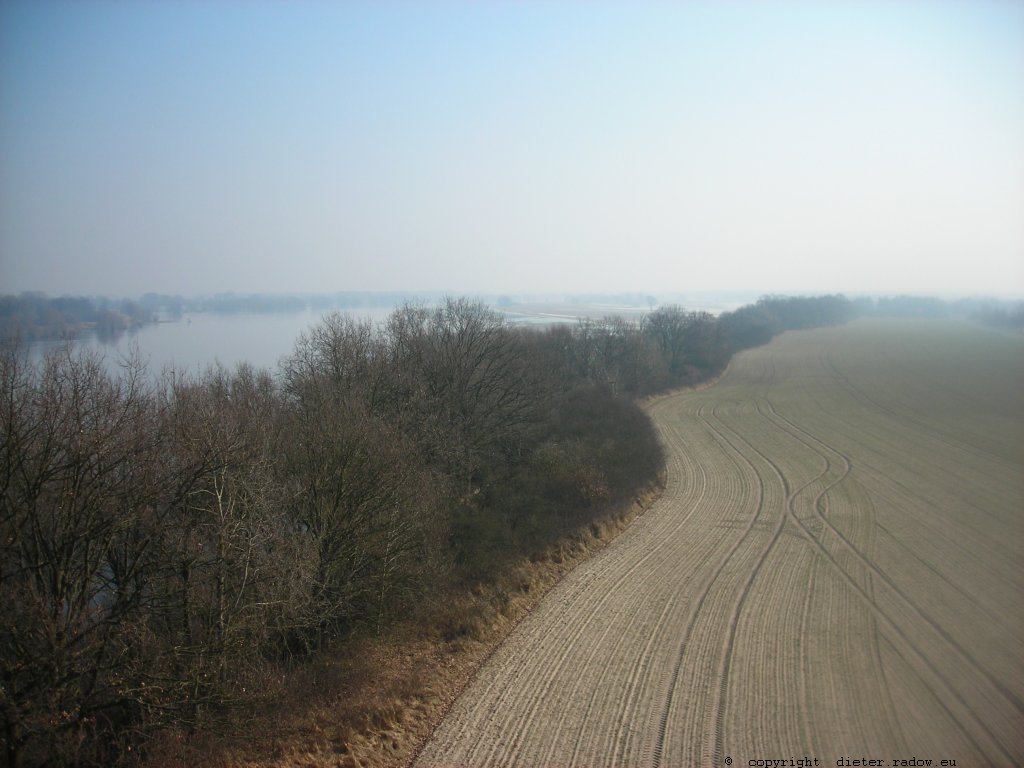
Germany – Lower Saxony 2010 – the river Albis near Gorleben. From 1945-1990 the river was the border to the German Democratic Republic and the Soviet power-block on the other river-side ° ° ° Deutschland -Niedersachsen bei Gorleben.- Von 1945-1990 war die Elbe hier die Grenze zu dem Sowjet-Machblock und der DDR auf der anderen Flußseite.
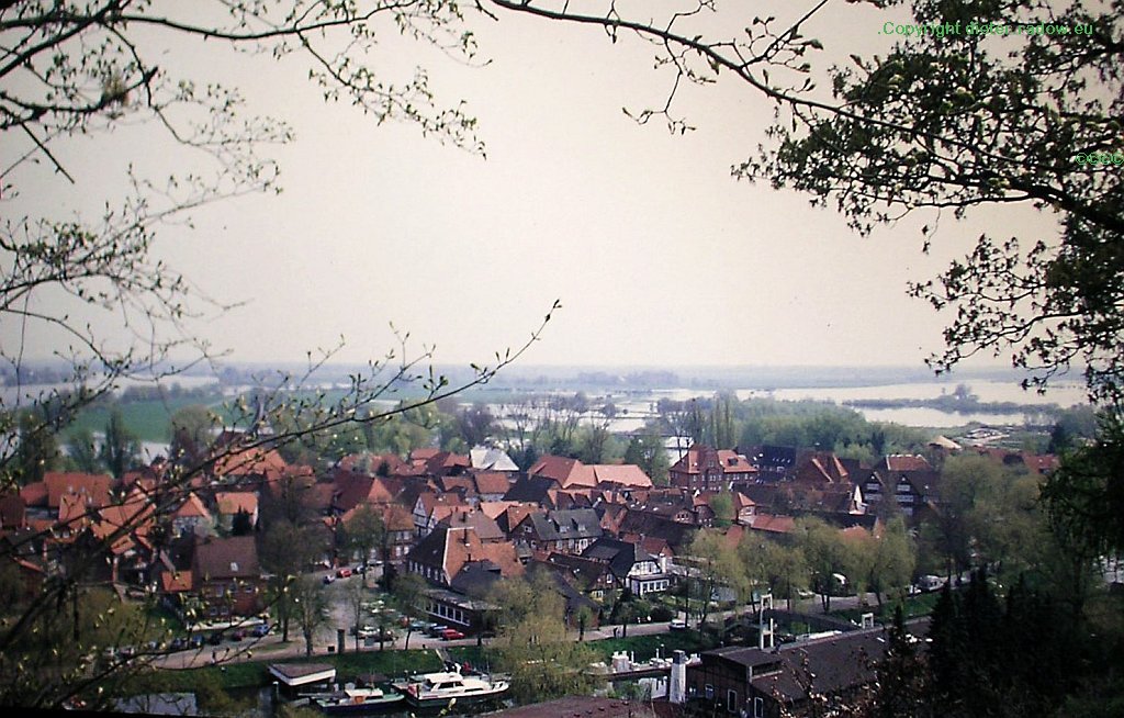
Germany – Lower Saxony 2010 – the river Albis flooding the meadows around the little town of Hitzacker. From 1945-1990 the river was the border to the German Democratic Republic and the Soviet power-block on the other river-side ° ° ° Deutschland -Niedersachsen – Die Elbe überflutet die Aue-Wiesen um Hitzacker.- Von 1945-1990 war die Elbe hier die Grenze zu dem Sowjet-Machblock und der DDR auf der anderen Flußseite.
Germany – Lower Saxony 2012 – the river Albis near Dömitz. From 1945-1990 the river was the border to the German Democratic Republic and the Soviet power-block on the other river-side. The bridge has been blast 1945 and was never rebuilt ° ° ° Deutschland -Niedersachsen bei Dömitz.- Von 1945-1990 war die Elbe hier die Grenze zu dem Sowjet-Machblock und der DDR auf der anderen Flußseite. Die Eisenbahnbrücke von 1928 wurde im Strom-Bereich 1945 gesprengt und danach nie wieder aufgebaut. Die Pfeiler im niedersächsischen Überschwemmungsgebiet bleiben als Denkmal der Teilung erhalten.
Germany – Lower Saxony 2010 – the river Albis near Dömitz at the east river-side. From 1945-1990 the river was the border to the German Democratic Republic and the Soviet power-block on the other river-side ° ° ° Deutschland -Niedersachsen bei Dömitz (Mecklenburg-Vorpommern).- Von 1945-1990 war die Elbe hier die Grenze zu dem Sowjet-Machblock und der DDR auf der anderen Flußseite.
Germany – Meklenbourg-Pomerania 2010 – the river Albis and the litlle town of Domitz – From 1945-1990 the river was the border to the German Democratic Republic and the Soviet power-block on the other river-side ° ° ° Mecklenburg-Vorpomern Von 1945-1990 war die Elbe hier die Grenze zu dem Sowjet-Machblock und der DDR auf der anderen Flußseite.
Germany – Meklenbourg-Pomerania 2010 – the river Albis and the litlle town of Domitz – From 1945-1990 the river was the border to the German Democratic Republic and the Soviet power-block on the other river-side ° ° ° Mecklenburg-Vorpomern Von 1945-1990 war die Elbe hier die Grenze zu dem Sowjet-Machblock und der DDR auf der anderen Flußseite.
ODER -
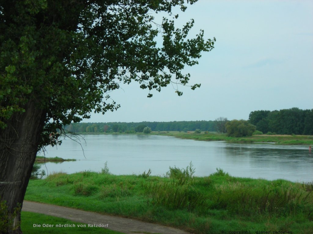
Germany/Poland 1990: the Odra at Küstrin (the other river-side, German since 1257, now belongs to Poland).° ° °
Deutschland/Polen 1990. Die Oder bei Küstrin. Die andere Flußseite, deutsch seit 1257, gehört heute zu Polen).
KANÄLE – CANALS
Panama: view of the canal from the bridge at the Pacitc ° ° ° Blick auf den Kanal von der Brücke am Pazifik

